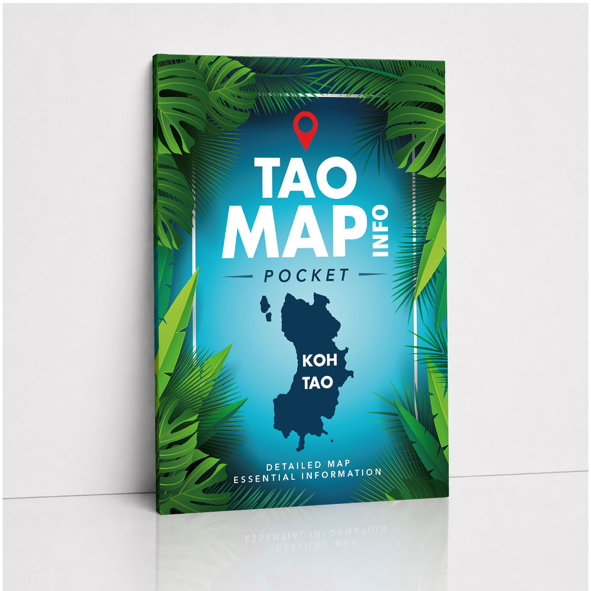
TAO MAP INFO DESK LITE
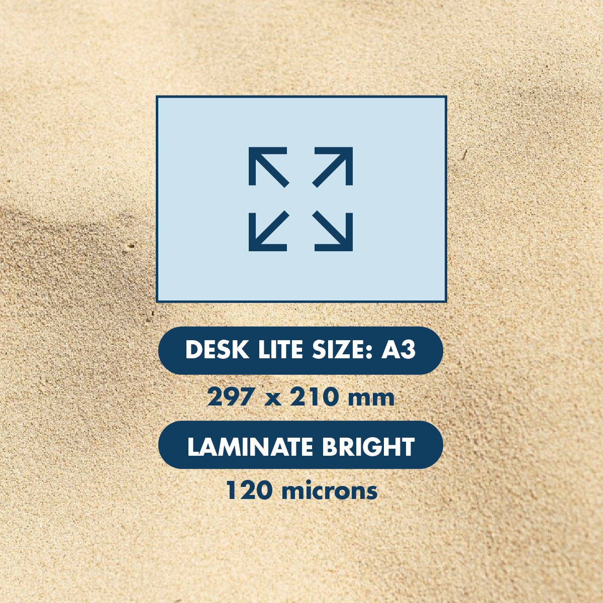
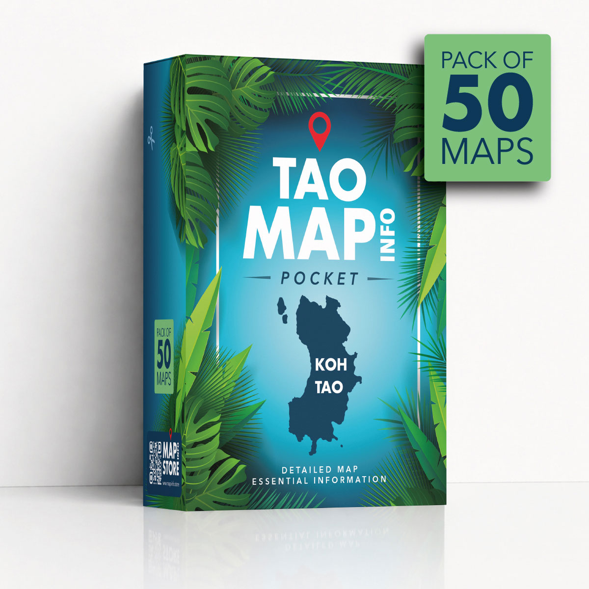
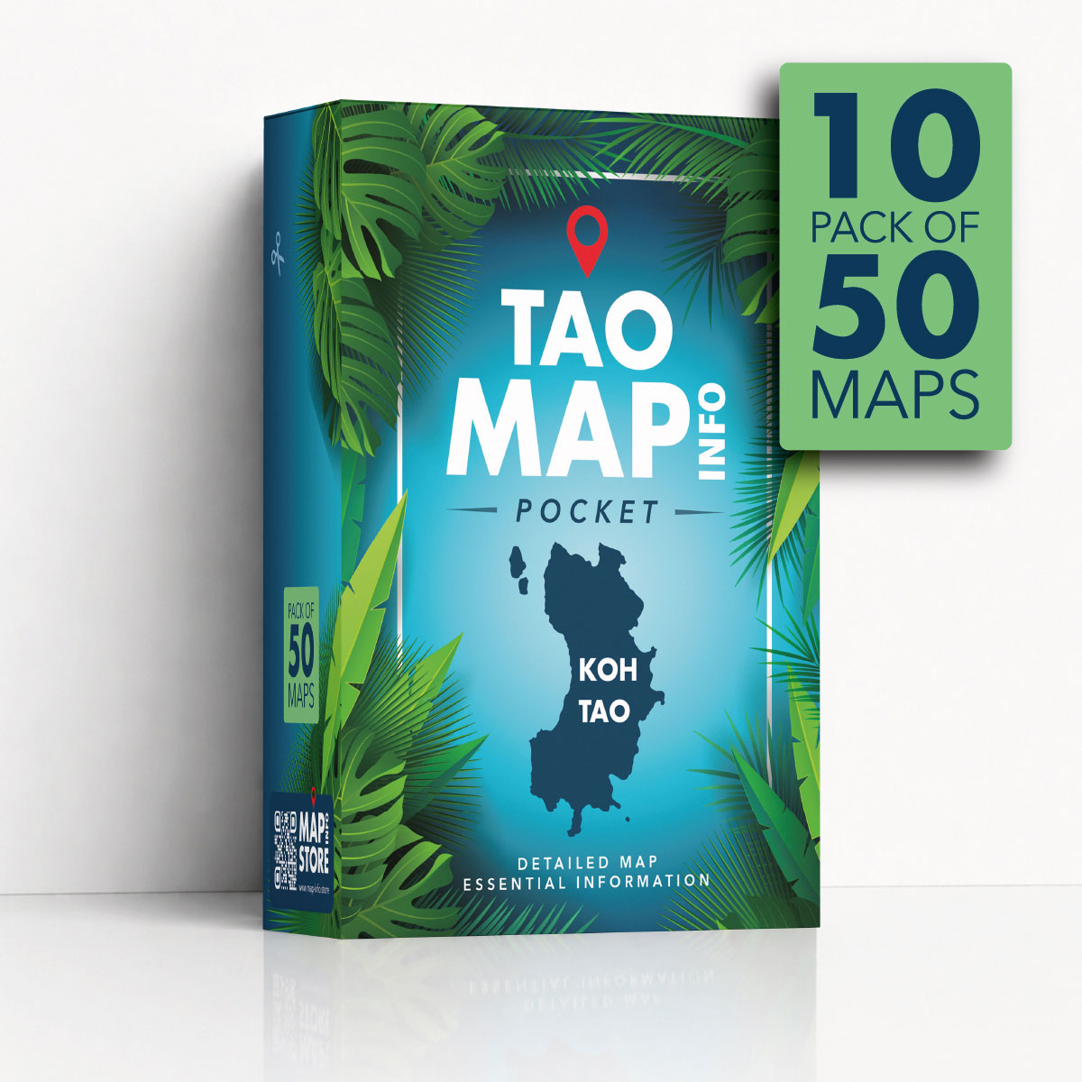
TAO MAP INFO DESK LITE is a laminated A3 desk map of Koh Tao, designed for reception counters, offices, tour desks, villas and any place where people need to quickly show locations on a clear printed map.
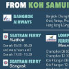
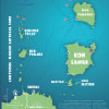
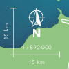
Based on the same detailed map content as the pocket version, this Desk Lite format is delivered unfolded and laminated, making it easier to point to beaches, roads, viewpoints, piers, services and other useful places directly on the map.
The bright laminate protects the printed sheet and gives it a clean, practical finish for everyday use with guests, clients, residents or visitors.
Unlike advertising maps, TAO MAP INFO DESK LITE keeps the full surface dedicated to useful island information, with a clear and advertisement-free design.
A practical laminated desk map for explaining Koh Tao with confidence.
BUY NOW
CHOOSE YOUR FAVORITE PLATFORM