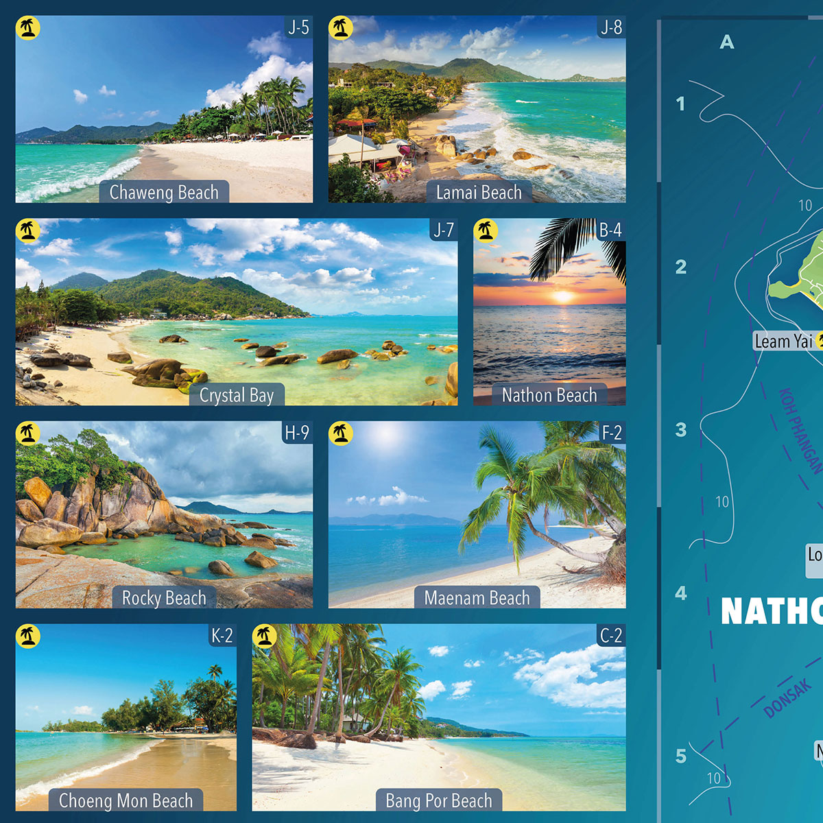
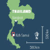
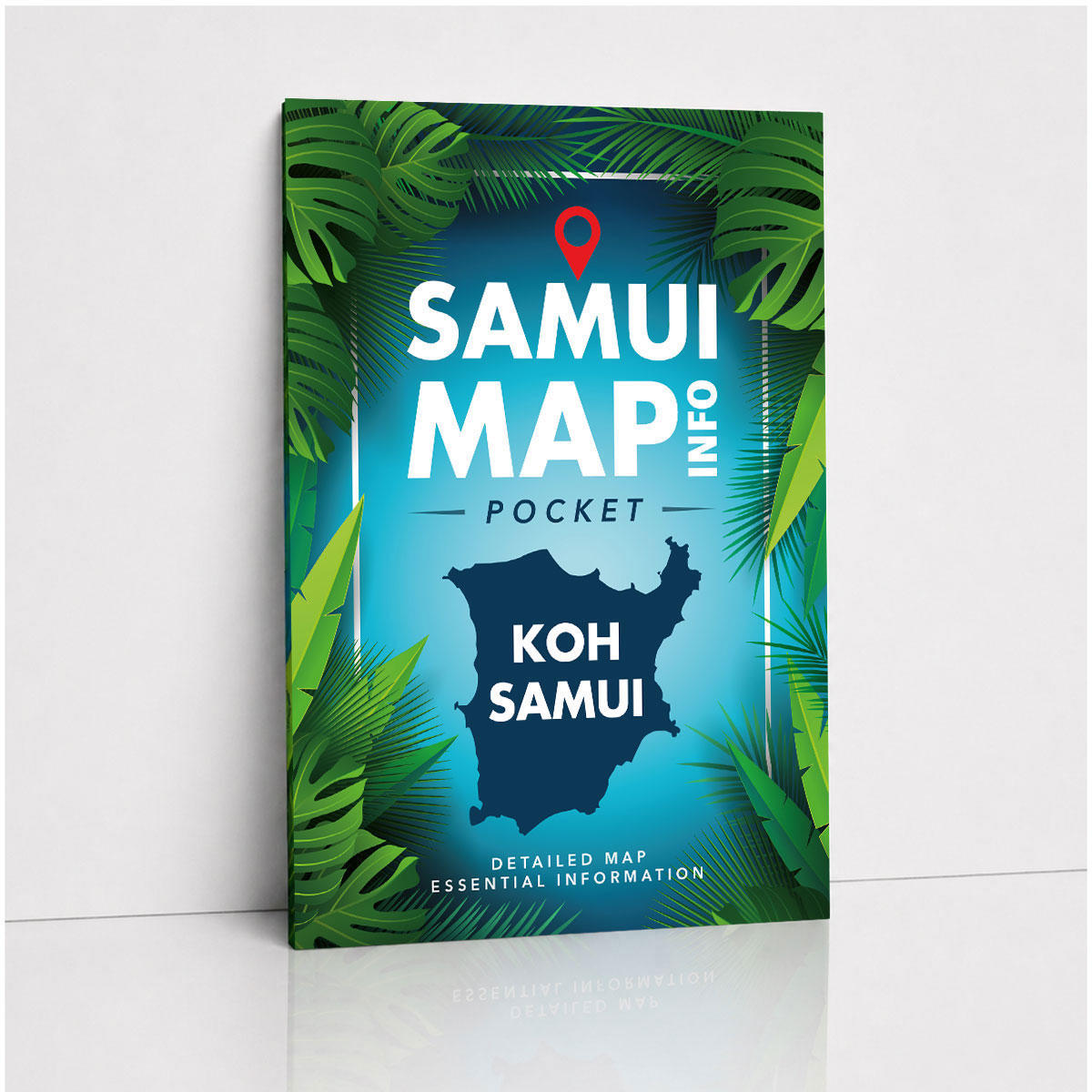
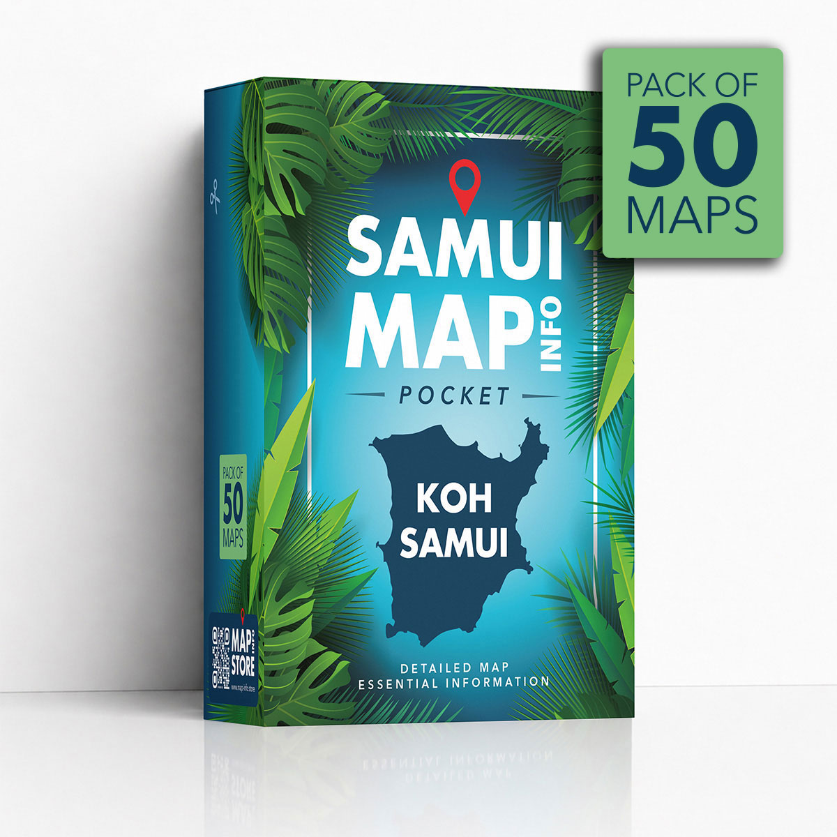
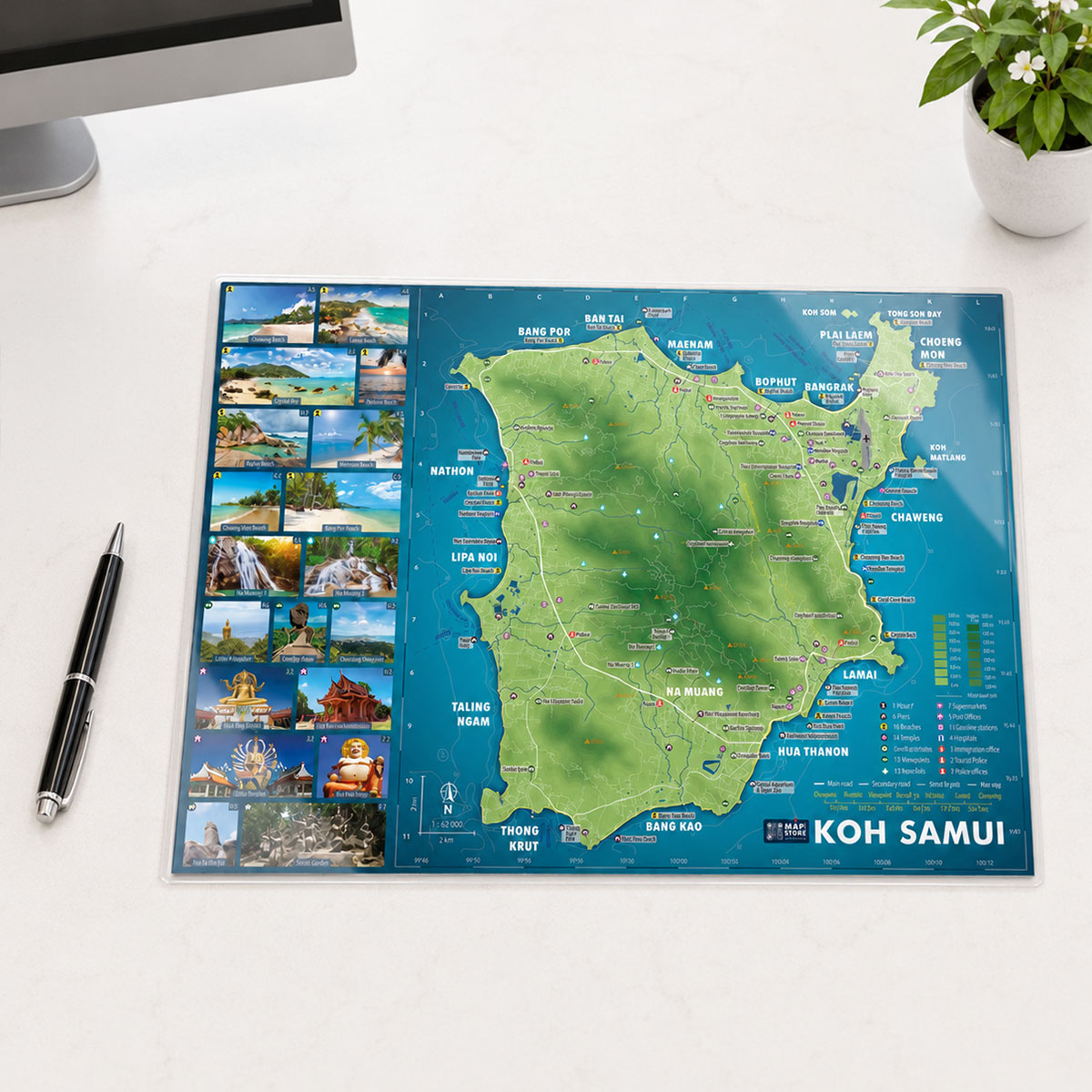
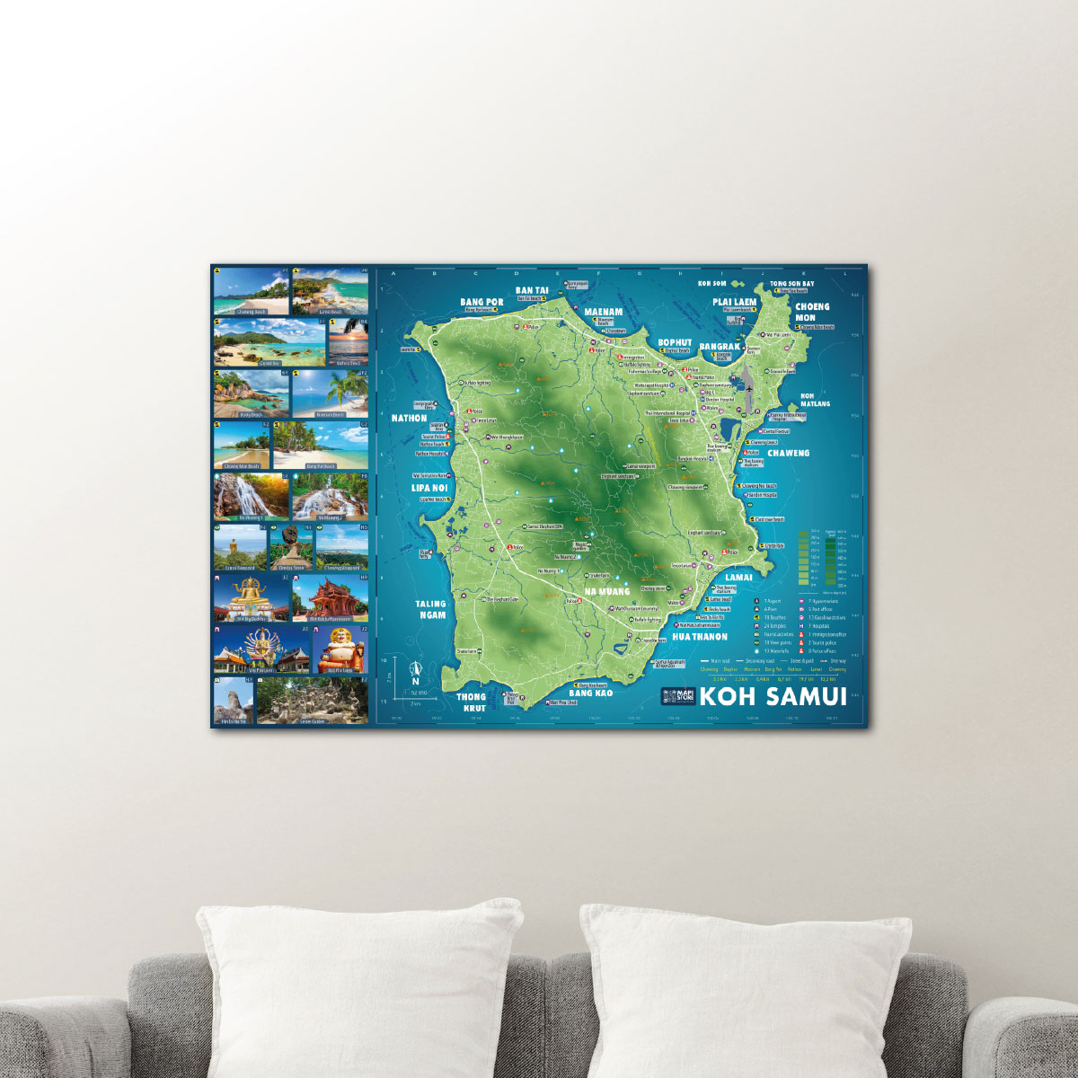
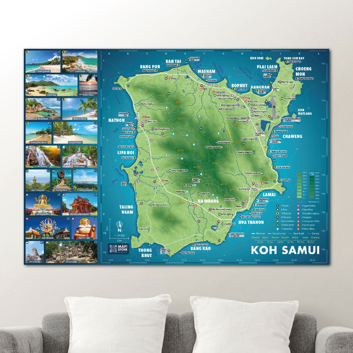
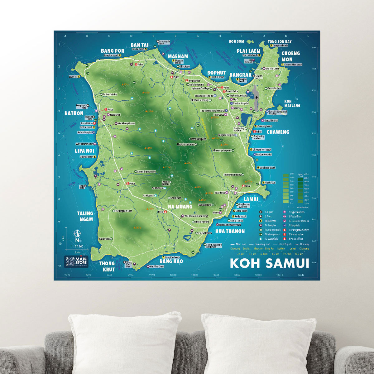
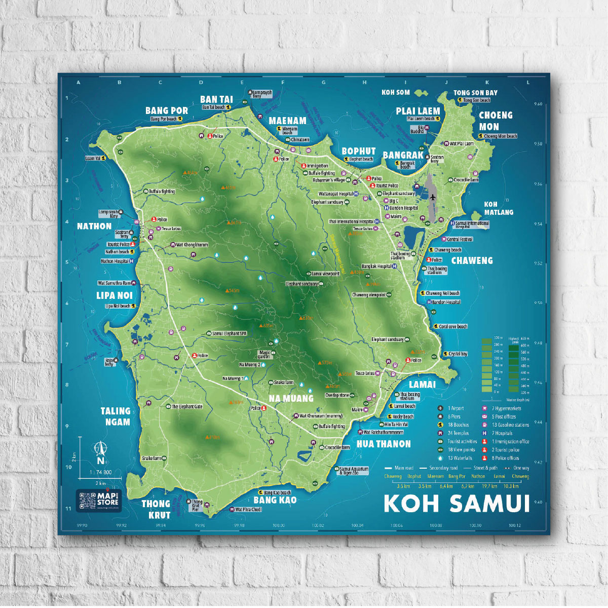
SAMUI MAP INFO DESK PRO
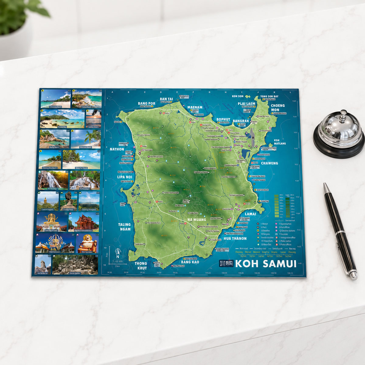
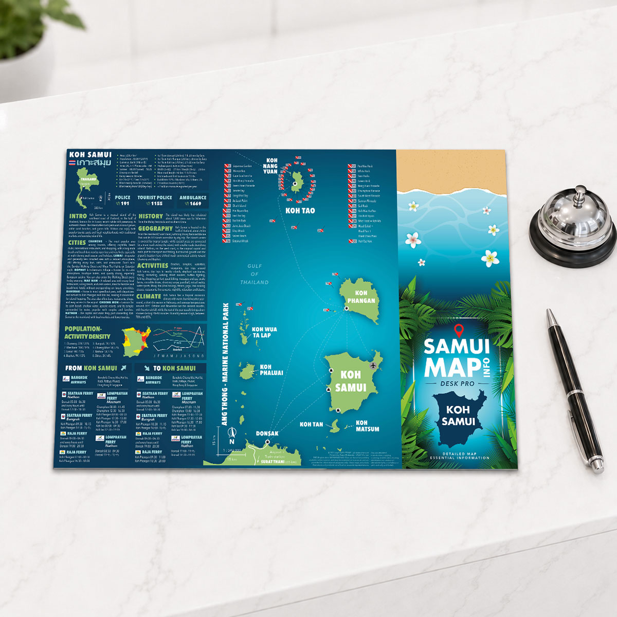
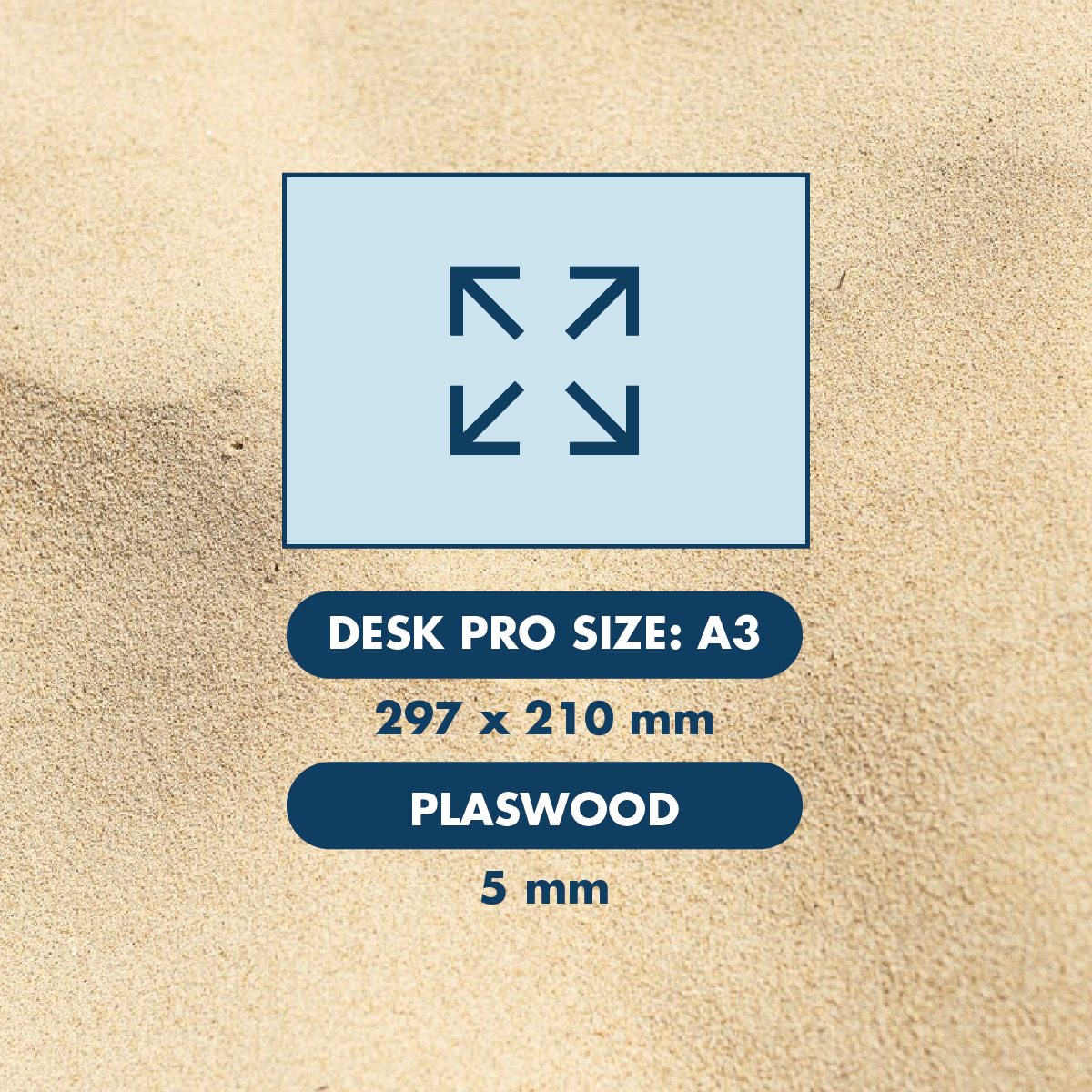
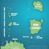
SAMUI MAP INFO DESK PRO is a rigid A3 desk map of Koh Samui, designed for professional use in hotels, villas, tour desks, offices, real estate agencies and reception areas.
It uses the same practical island map concept as the Desk Lite version, but with a stronger Plaswood 5mm support for a more durable, stable and professional presentation.
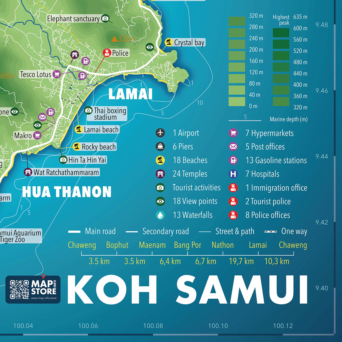
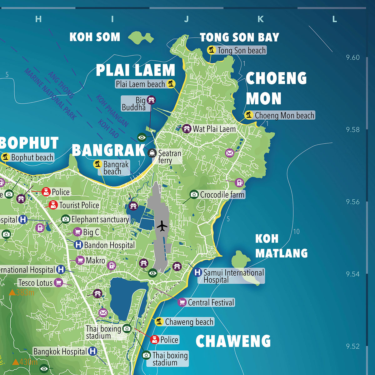
This Desk Pro format is ideal when the map is used often to explain locations, routes, beaches, areas, piers or services to customers and visitors.
Unlike advertising maps, SAMUI MAP INFO DESK PRO keeps the full surface dedicated to clear island information, with a clean advertisement-free design.
A solid professional desk map for showing Koh Samui clearly and confidently.
BUY NOW
CHOOSE YOUR FAVORITE PLATFORM